Starting December 1st, the Walter W. Smith Parkway road is fully closed to vehicles. This road will not reopen until May 1st or later if there is still snow. The road is open to cyclists, pedestrians, and skiers.
Closed areas to vehicles include: Scenic Overlook, Lava Bluffs, Stanislaus River, South Grove, Bradley Grove, and Beaver Creek.
Open areas to vehicles include: Visitor Center, parking for North Grove trail and offshoots (River Canyon trail, North Grove Overlook Trail), North Grove Day Use Area and first-come, first-served camping in sites #1-11 in the North Grove Campground.
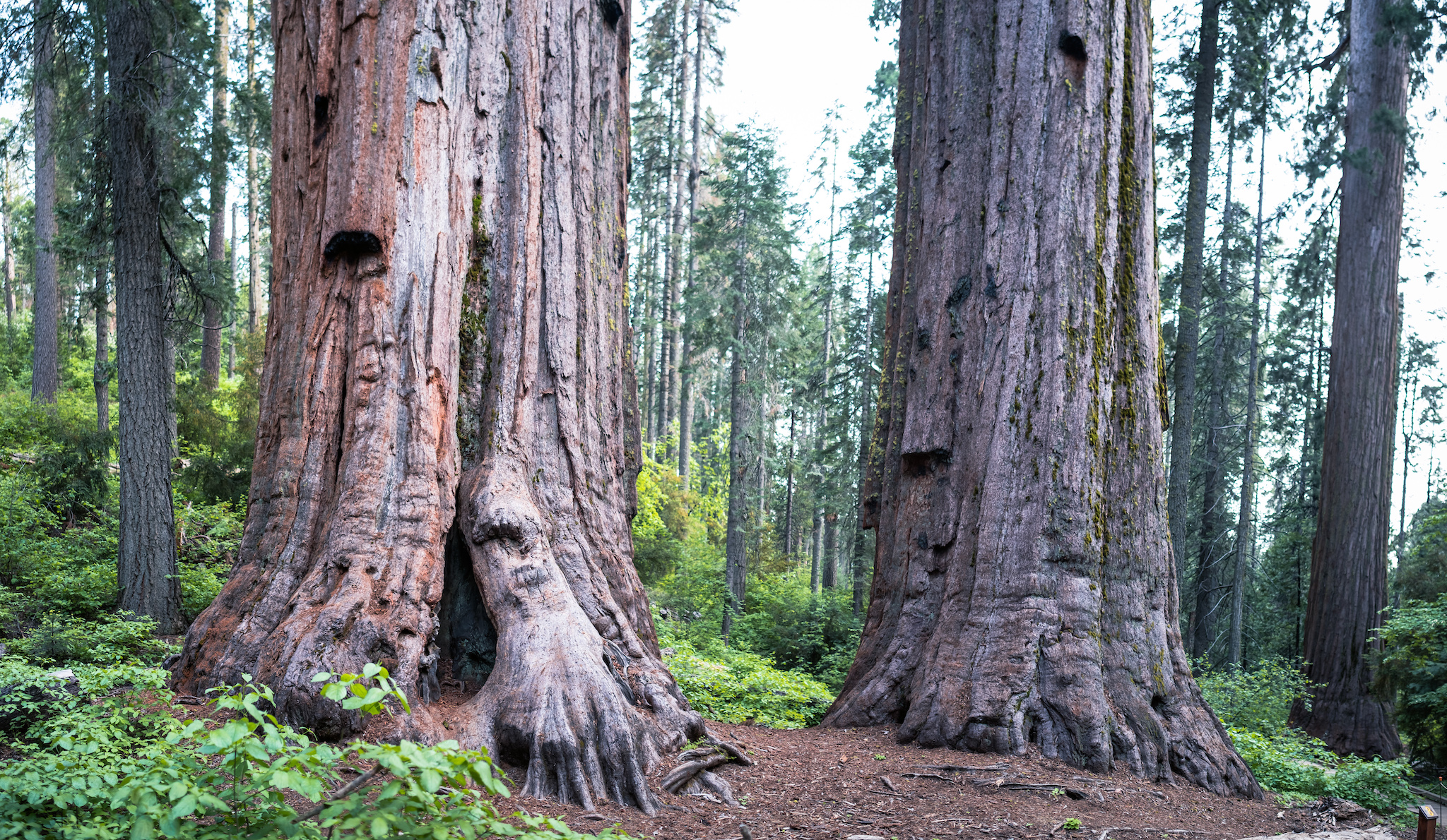
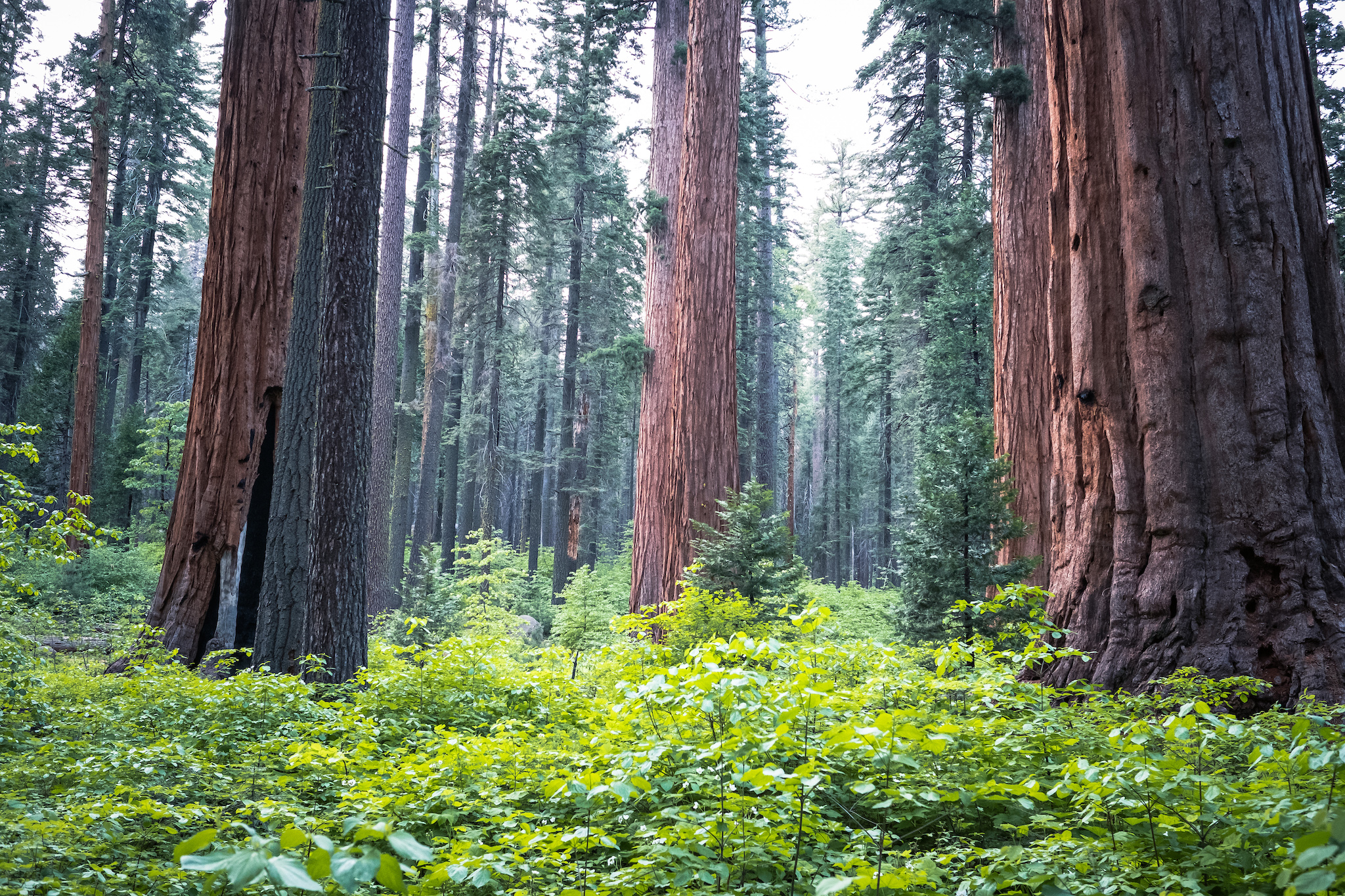
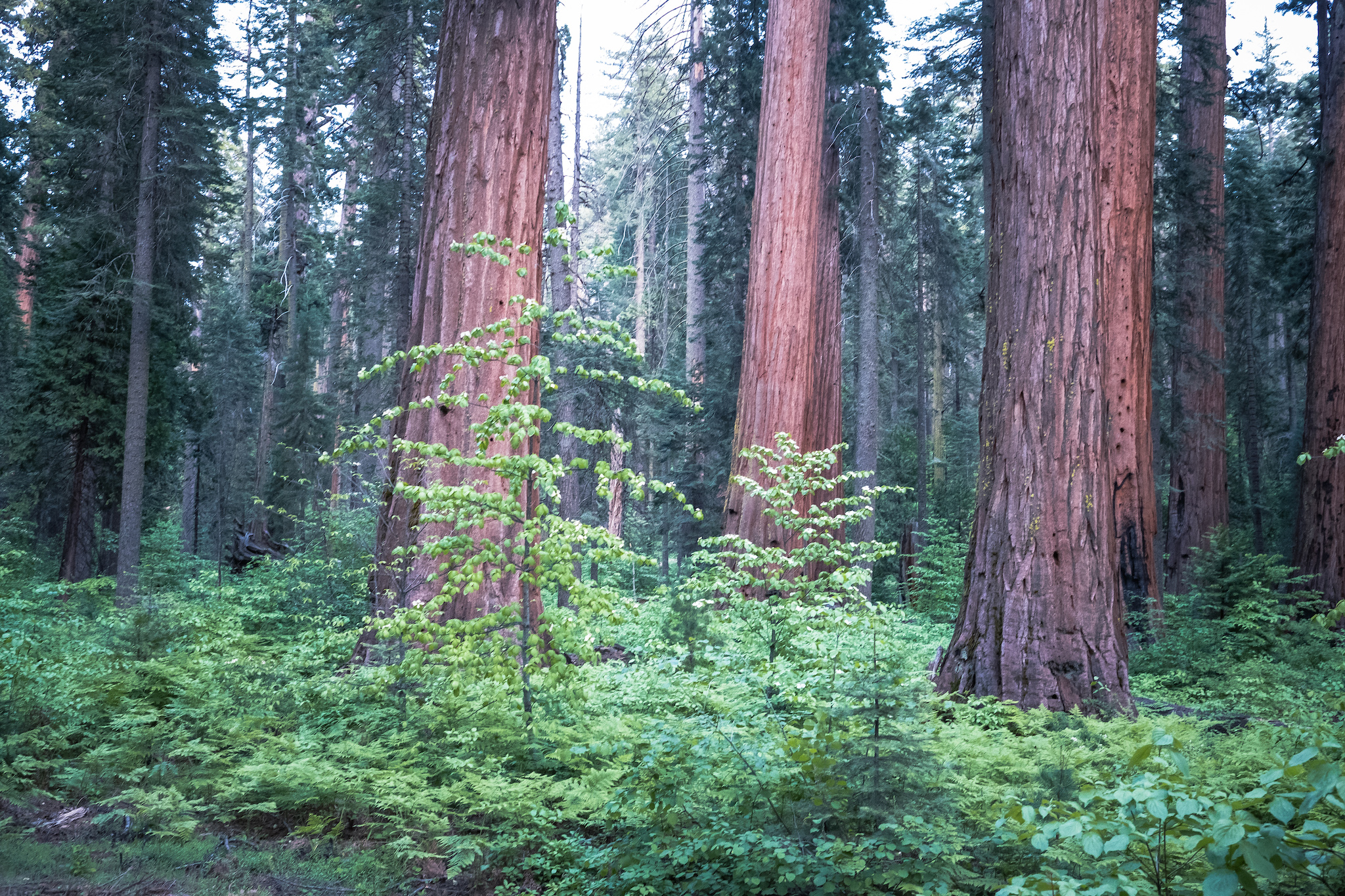
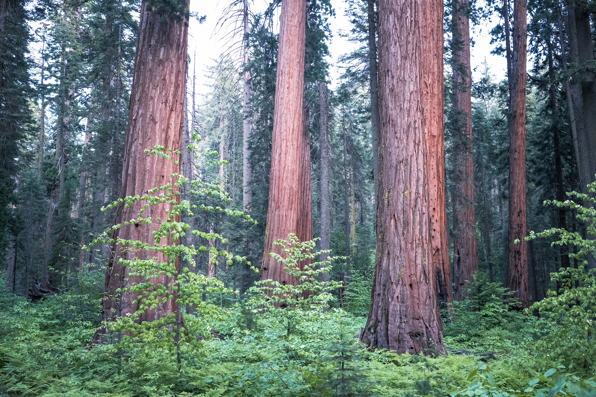
Welcome to Calaveras Big Trees State Park. Established in 1931, Calaveras Big Trees State Park preserves a mixed conifer forest with two groves of giant sequoias - the North Grove and South Grove. In addition to the giant sequoia trees, you will find the Stanislaus River, Beaver Creek, ancient volcanic formations, natural meadows, and trails throughout the park allow you to discover the area that has awed visitors since 1852.
Planning your trip? The park closes the Walter W. Smith Parkway road every first significant snowfall or December 1st, whichever comes first. This closes vehicle access to the Stanislaus River and South Grove areas. The road reopens May 1st or later if there is still snow. All areas in the park are open in the summer.
.png)
About the Park
Learn more about Calaveras Big Trees.
.png)
Camping and Cabins
Spend the night at Calaveras Big Trees.
.png)
Trails
Explore the groves and beyond.
.png)
Programs and Events
Find an activity or special event.
 (1).JPG "Seven Interpretive staff standing in front of the Pioneer Cabin Display")
Join the Team
Work or volunteer at Calaveras Big Trees!
.png)
School Programs
Field Trips (Grades K-12)
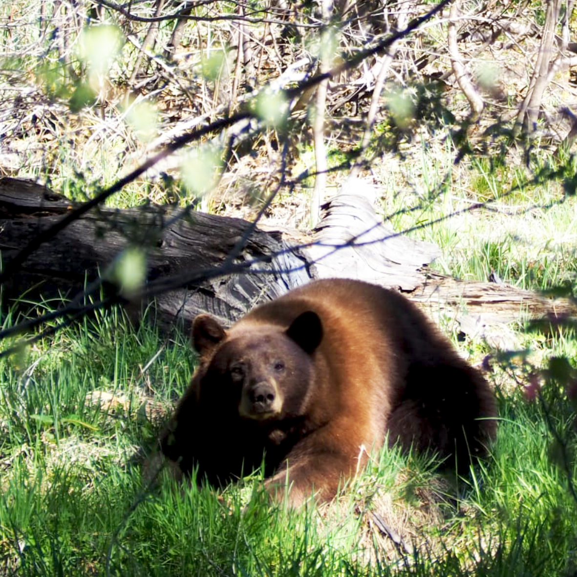
Be Bear Aware
Be Bear Aware - A Visitor's Guide
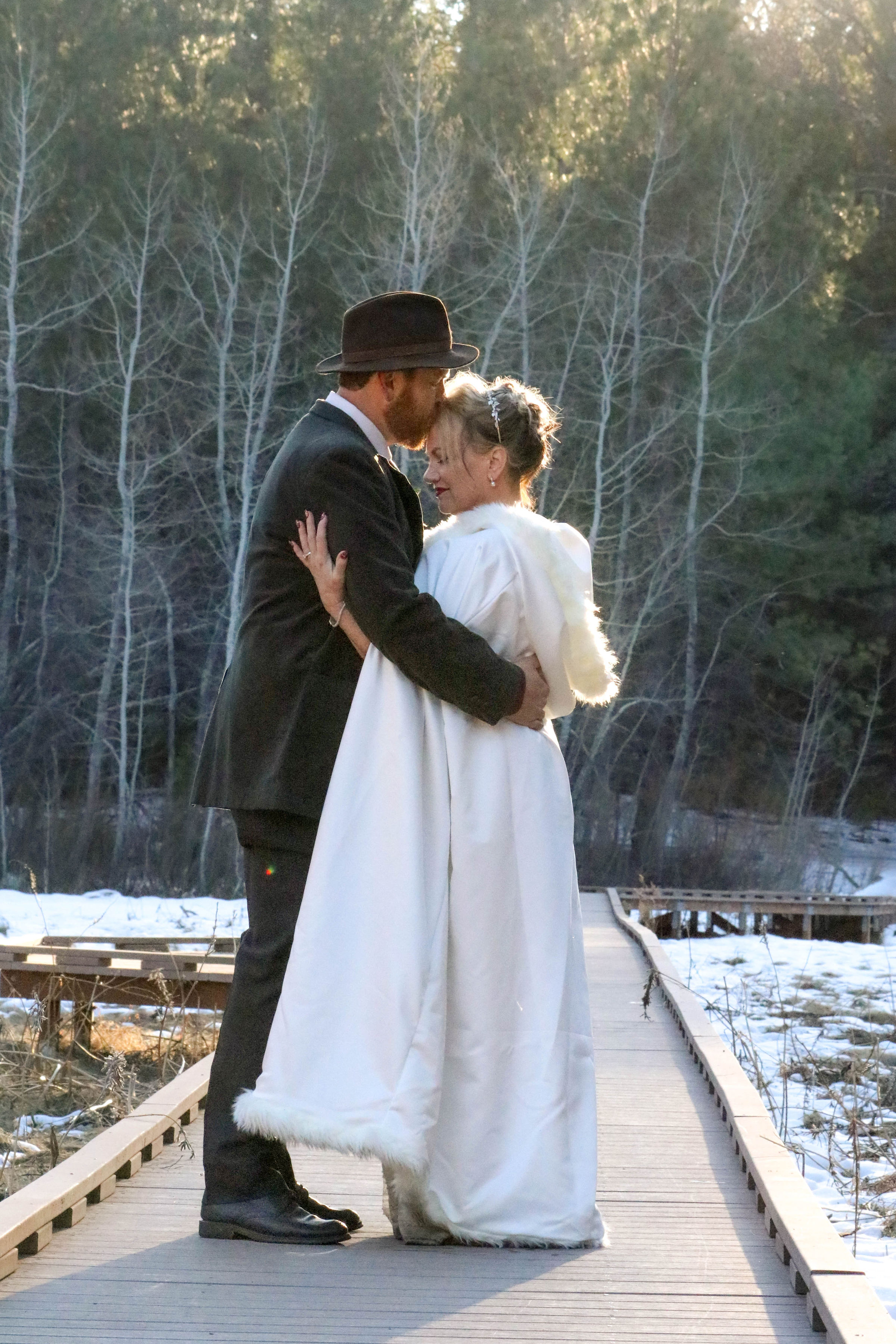
Venue Rentals
Special Events and Venue Rentals
.png)
Dogs and Other Pets
Where can you go with dogs?

State Park Jobs
Work in a park near you!