
Trails and Hiking
Current Trail Conditions
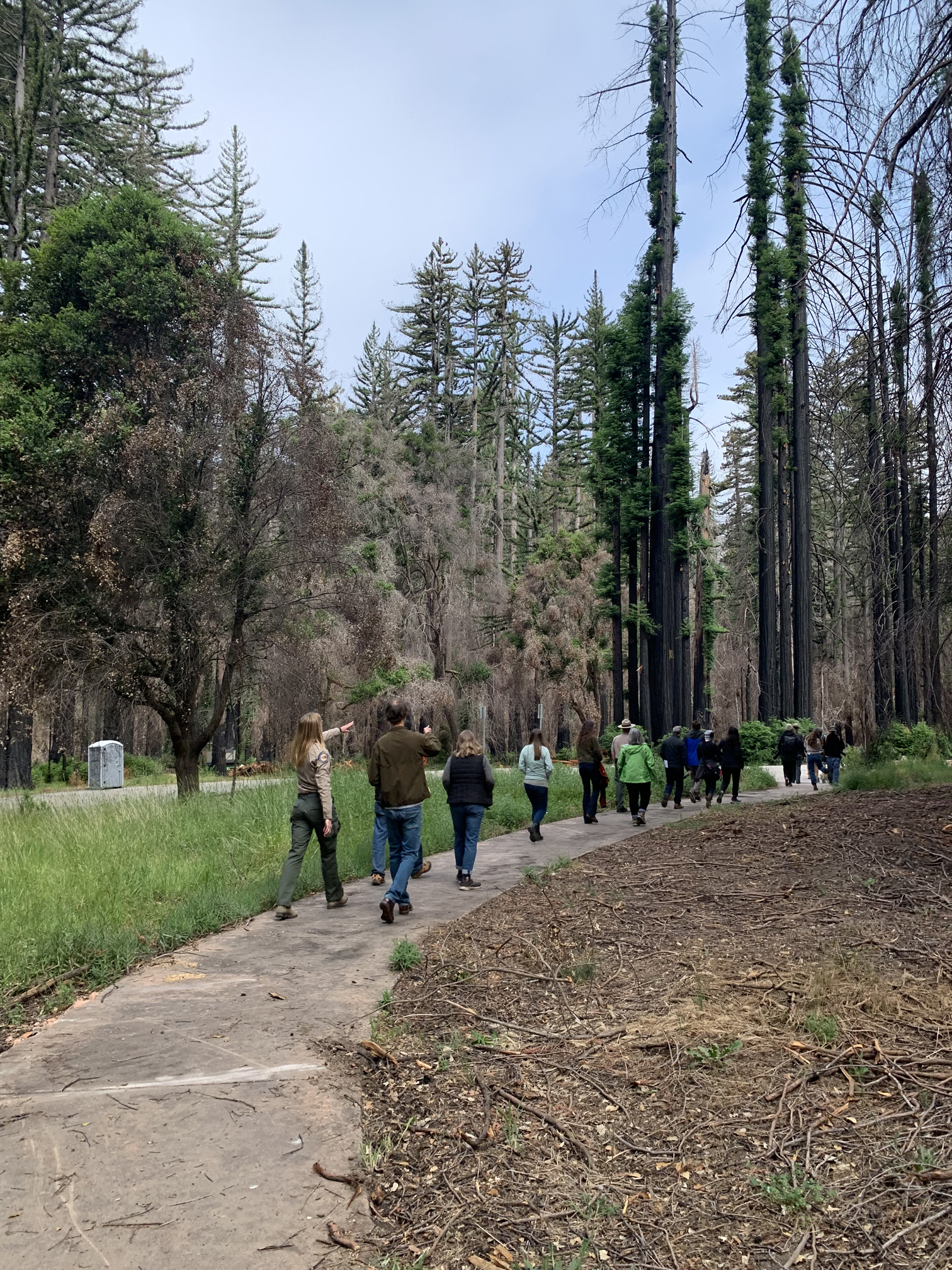
State Parks is working to bring the public back to Big Basin following the damage caused by a series of atmospheric river storms in 2023 and the CZU Lightning Complex Fire of 2020. Parking reservations are now available. Most of the roads and trails that were open before the storms have been partially or fully reopened, but repair work continues. Access to additional trails and back country roads will be made available as they are cleared and made safe.
Currently Open Roads and Trails:
- Redwood Loop Trail
- Dool Trail
- Meteor Trail
- Sunset Trail (from Dool Trail to Middle Ridge Road)
- Gazos Creek Road (from North Escape Road to Sandy Point)
- North Escape Road (from former Headquarters Area to Meteor Trail)
- Middle Ridge Road (from Gazos Creek Road to Johansen Road)
- Johansen Road
- Chalks Road
- Skyline to the Sea Trail (from Gazos Creek Road to North Escape Road)
- Creeping Forest Trail (from Skyline to the Sea Trail to Gazos Creek Road)
- Hihn Hammond Fire Road to Mount McAbee Overlook
All other trails are CLOSED. See park map for details.
Remember:
- Please check with staff at the park entrance kiosk to see if your planned route is safe and passable.
- All trails close at sunset. You need to plan ahead to complete your hike before sunset.
- ALWAYS carry a map and water. Bring warm clothes and a flashlight in case you get caught out after dark.
- Expect to find down trees. You will need to climb over, around, or under them. If you cannot get safely past down trees, you will need to turn back. You are responsible for gauging what you can safely cross. When in doubt, TURN BACK!
- Trail conditions are always changing, so please be aware that you may come across blocked trails that we do not know about. If you cannot safely cross a blocked or damaged section of trail, you will need to turn around. When in doubt, TURN BACK!
 Trail Recommendations
The park’s many trails and roads lead past ancient trees, meandering creeks, and wildlife in habitats that range from damp canyon bottoms to chaparral-covered slopes. Common creatures include deer, raccoons, bobcats, and birds, including dark-eyed juncos, acorn woodpeckers, Steller's jays, marbled murrelets, and fire-following lazuli buntings.
Check the park map when planning your hike and make sure you carry a map while you hike to avoid getting lost. There are free park maps at the park entrance kiosk.
View a list of park events and guided hikes.
Redwood Loop Trail
Guided walks occasionally available by request (check at temporary visitor center for availability)
What to see: some of tallest trees in the park (Mother and Father of the Forest)
Location: former park headquarters area
Trailhead: parking lot
Length: 0.6 mile (~1 km)
Time: 45 minutes to 1 hour
Elevation: level
Opal Creek Loop
Skyline to the Sea Connector Trail to Gazos Creek Road, across bridge to North Escape Road, then back to parking lot
What to see: Opal Creek, old-growth redwoods
Location: Big Basin core area
Trailhead: parking lot
Length: ~0.5 mile (~1 km)
Time: 45 minutes to 1 hour
Elevation: level
Dool Trail Loop
Skyline to the Sea Connector Trail to Dool Trail to Gazos Creek Road to North Escape Road to parking lot
What to see: old-growth trees, recovering forest
Location: Big Basin core area
Trailhead: parking lot
Length: 1.75 miles (~2.8 km)
Time: 1.5 hours
Elevation: ~140 (~42.6 m) feet of gain
Ocean View Summit Loop
Skyline to the Sea Connector Trail to Dool Trail to Middle Ridge Road up to Ocean View overlook, then down Middle Ridge Road to Gazos Creek Road to North Escape Road to parking lot
What to see: old-growth trees, recovering forest, ridge top hiking, ocean view
Location: mid-park
Trailhead: parking lot
Length: 4.15 miles ( ~6.7 km)
Time: 3-4 hours
Elevation: ~500 feet (~152 m) of gain
Gazos Creek Road Loop
Gazos Creek Road to Johansen Road to Middle Ridge Road to Dool Trail to Skyline to the Sea Connector Trail to parking lot
What to see: old-growth trees, recovering forest, expansive views
Location: Big Basin core area, mid-park, West Waddell Creek State Wilderness Area
Trailhead: parking lot
Length: 12.25 miles (~19.7 km)
Time: 6-8 hours
Elevation: ~700 feet (~213 m) of gain
Biking
Mountain bikes are allowed on fire/service roads only. Gazos Creek Road and Chalks Road are both rewarding routes.
Horseback Riding
Horses are allowed on fire/service roads only. Horses are not permitted on any trails. Please check the park map for details on where horses are allowed. Horse trailer parking can be reserved through the day-use parking reservation system for use of the two bus parking spaces when available.
Dogs
Dogs are allowed in the parking lot area and the first mile of North Escape Road. Dogs must be on leash at all times. As paved roads are repaired, dog access will increase.