
Current Conditions on Portola Redwoods State Park Trails
The Following Trails are CLOSED:
All other trails are currently OPEN, but please keep in mind the following:
- Please check with staff at the Visitor Center to see if your planned route is safe and passable.
- Remember that all trails close at sunset. You will need to plan ahead to complete your hike before sunset.
- ALWAYS carry a map and water. Bring warm cloths and a flash light in case you get caught out after dark.
- The rainy season has started so expect trails to be muddy and slick even has it has not rained in a week or more. It takes a while for the redwood forest to dry out.
- The seasonal bridges on the Sequoia Nature Trail have been insstalled for the ssummer. It might be possible to cross the Pescadero Creek by hopping on rocks or using other improvised crossings. During and after storms, small streams can turn into rushing creeks that are dangerous to cross. You are responsible for gauging what you can safely cross. When in doubt, TURN BACK!
- Expect to find down trees. You will need to climb over, around, or under them. If you cannot get safely past down trees, you will need to turn back. You are responsible for gauging what you can safely cross. When in doubt, TURN BACK!
- Trail conditions are always changing, so please be aware that you may come across blocked trails that we do not know about. If you cannot safely cross a blocked or damaged section of trail, you will need to turn around. When in doubt, TURN BACK!
- During the winter, wet roads and trails fallen trees and other obstructions can delay rescue. Please plan ahead with warm clothes, flashlights, food and water, and other emergency supplies in case you are trapped in the backcountry overnight.
Hiking at Portola Redwoods State Park
Eighteen miles of trails wind through the rugged terrain. All are for hikers only. Backpackers can stay at a trail camp 2.5 miles from the trailhead on their way to the memorable ancient grove at Peters Creek.
Check the Park Map, when planning your hike and make sure you carry a map while you hike to avoid getting lost. You can purchase detailed maps at outdoor supply retailers, or at the Visitor Center. There are free park maps avalable from the Visitor Center .
Portola’s wheelchair-accessible visitor center is staffed on weekends and holidays year-round as staffing permits.
If you have an hour, hike the Old Tree Trail to its monumental namesake tree, a rewarding 0.6-mile roundtrip. The Sequoia Nature Trail, which introduces the natural history of the area in a scenic 0.75-mile loop.
If you have half a day, try the Iverson Trail, with a side trip to Tiptoe Falls. Start just north of the visitor center and return via the Sequoia Nature Trail. The latter will take you past Shell Tree, the remains of a redwood that was destroyed by a camper’s fire in 1989. The tree was 17 feet in diameter and about 2,000 years old when it died.
If you have a full day, the 11.9-mile-long round trip leads to the park’s backcountry old-growth redwoods. “A trip to the Peters Creek Grove may be the most awe-inspiring hike in the Bay Area,” says Anne Marie Brown in 101 Great Hikes of the San Francisco Bay Area. “The sanctity of this grove will move you.”
Easy Hikes
Old Tree Trail
Trailhead: Old Tree Trail; 1.2 miles roundtrip; elevation change 245 feet.
An easy amble close to the campground with interesting sights and interpretive signs along the way. At the end of the trail, a gigantic coast redwood tree stands alone. That’s Old Tree—one of only 14 redwoods in the Santa Cruz Mountains that are more than 300 feet tall and estimated to be about 1,200 years old.
Sequoia Nature Trail
Trailhead: behind visitor center; 0.75 miles roundtrip; 67-foot elevation change; easiest when the seasonal bridge is up in the summer.
Use the brochure map available in the visitor center to enjoy this self-guided nature walk. In summer, a seasonal bridge leads across Pescadero Creek. On the other side is Shell Tree, a redwood once bigger than Old Tree that was destroyed by an out-of-control campfire in 1989. Today you can gaze up at its formidable (17-feet-in-diameter) base and walk for yards and yards along the shards of its shattered trunk. Look for azaleas and leopard lilies in the spring. In winter, you’ll have to rockhop or wade across Pescadero Creek. Keep an eye out for native steelhead trout returning from the Pacific. If the water level is above your knees, crossing is not recommended.
Tiptoe Falls
Trailhead: behind visitor center; 1.44 miles; elevation change 172 feet.
Follow the Sequoia Nature Trail to the Iverson Trail, a leafy path that leads through streamside habitats and towering redwoods. At head height, huckleberries thrive. A short spur trail takes you to Tiptoe Falls, a small cascade where water rushes or trickles through a rocky notch. Look for salamanders in the pool at its base. In autumn, bright yellow maple leaves light up the forest. Near the falls, redwood rounds mark the path through a wetland with horsetails and ferns. To loop back, retrace your steps to the junction of Iverson Trail and the Trail to Tiptoe Falls. From there, followthe Tiptoe trail down to the campfire center. Return on the paved road back to the visitor center.
Dog Trail
Trailhead: north end of the campground; 1.44-mile loop; 130 feet elevation change.
At the north end of the campground, Lower Escape Road takes you along Peters Creek. Upper Escape brings you back through a mixed evergreen, redwood forest. This is the one route in the park where leashed dogs are allowed.
Moderate Hikes
Upper Coyote/East Tarwater
Trailhead: Iverson Trailhead, just north of the visitor center; 6-mile loop; elevation change 760 feet.
This route is heavily forested, passes an old shingle mill site, and offers spectacular canyon views. Keep an eye out for coyotes, deer, and hawks, especially in the morning. The return trail is named for the sticky tar that seeps from nearby Tarwater Creek. To begin, take the Iverson Trail to the Coyote Ridge Trail. After following Coyote Ridge for 0.7 miles, veer left onto Upper Coyote Ridge Trail. In 1.3 miles, at a parking area in Pescadero Creek County Park, take the Tarwater Loop Trail 1.9 miles south. From there, the Bridge Trail swiftly leads to the Pomponio Trail. Take Pomponio back to your starting point in the heart of Portola.
Strenuous Hikes
Peters Creek Loop
Trailhead: Old Tree Trail; 11.9 miles roundtrip; elevation change 1,030 feet.Peters Creek Loop passes through a seldom-seen area of the park that is home to some of the region’s oldest redwoods. Try it either as a day trip or a short backpacking expedition.
From the Old Tree trailhead, follow the signs for Slate Creek Trail. At Trail Camp in 2.5 miles, veer left on Bear Creek Trail for another 2.5 miles or so. Make the loop around the grove and backtrack on Bear Creek and Slate Creek trails to return.
BIKING
Mountain bikes are allowed on paved roads and on the Service Road which leads past the Iverson Cabin Site and connets Protola Redwoods State Park to multi use Old Hual Road in Pescadero Creek County Park. Please check with Pescadero Creek County Park to see what roads and trails are open to bikes.
HORSEBACK RIDING
Like mountian bikes, horses are only are allowed on paved roads and on the Service Road which leads past the Iverson Cabin Site and connets Protola Redwoods State Park to multi use Old Hual Road in Pescadero Creek County Park. Please check with Pescadero Creek County Park to see what roads and trails are open to horses.
DOGS
In order to protect wildlife in the Park, dogs are restricted from most trails in Portola Redwoods State Park. There are a few exceptions. Dogs on leash are permitted on Lower Escape Road and Upper Escape Road which forms a half mile loop under the redwoods at the northern edge of the campground. Leashed dogs are also permitted in the campgrounds, picnic areas and parking lots and paved roads.
California State Parks Backpacking Adventures
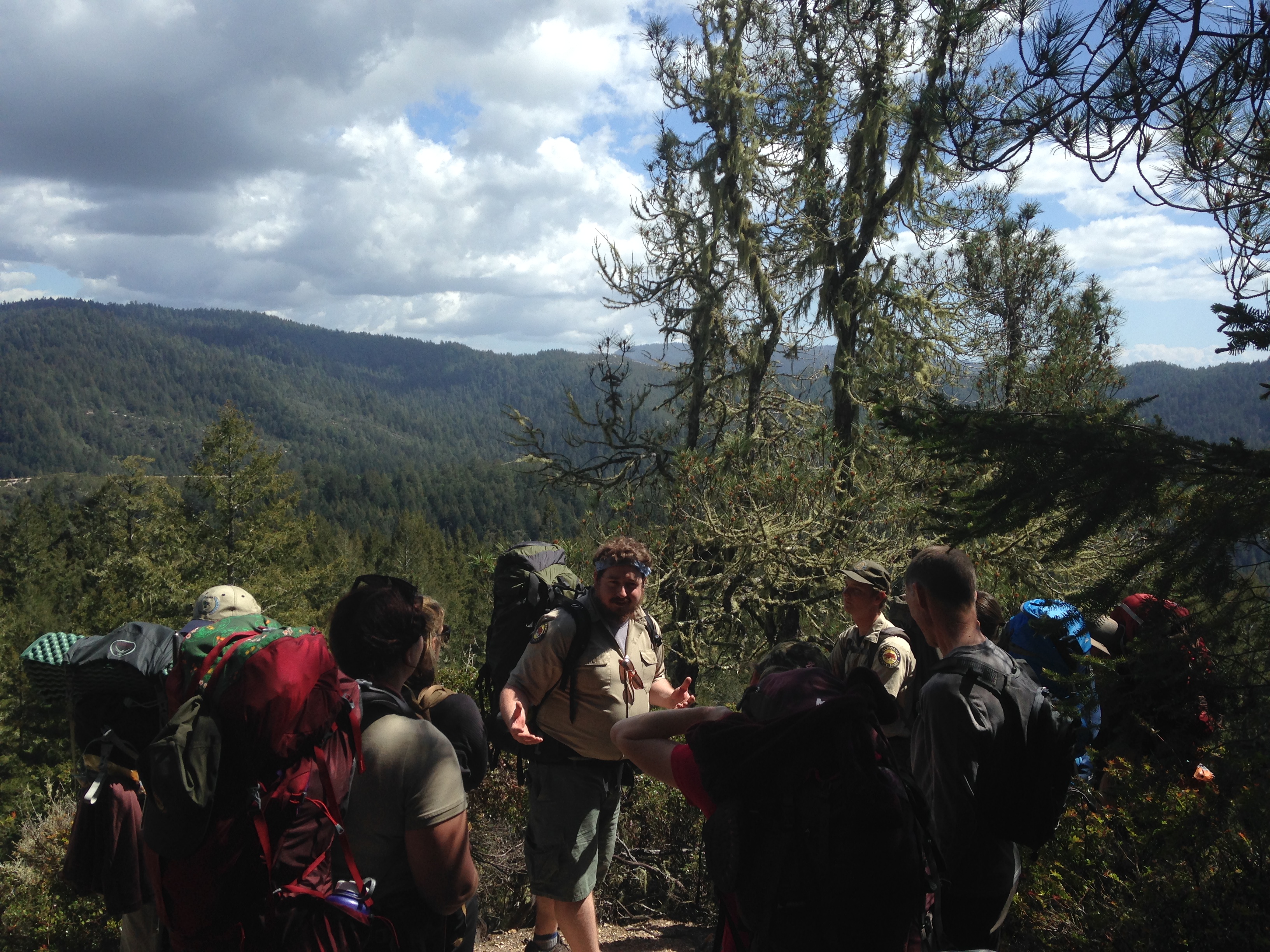 Looking for your next adventure? California State Parks offers naturalist-led backpacking trips in the Santa Cruz Mountains. Please click here for more information.